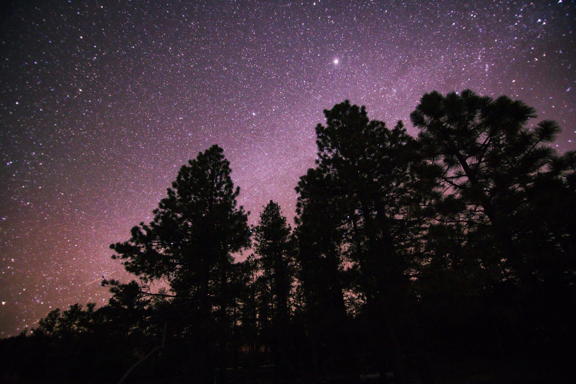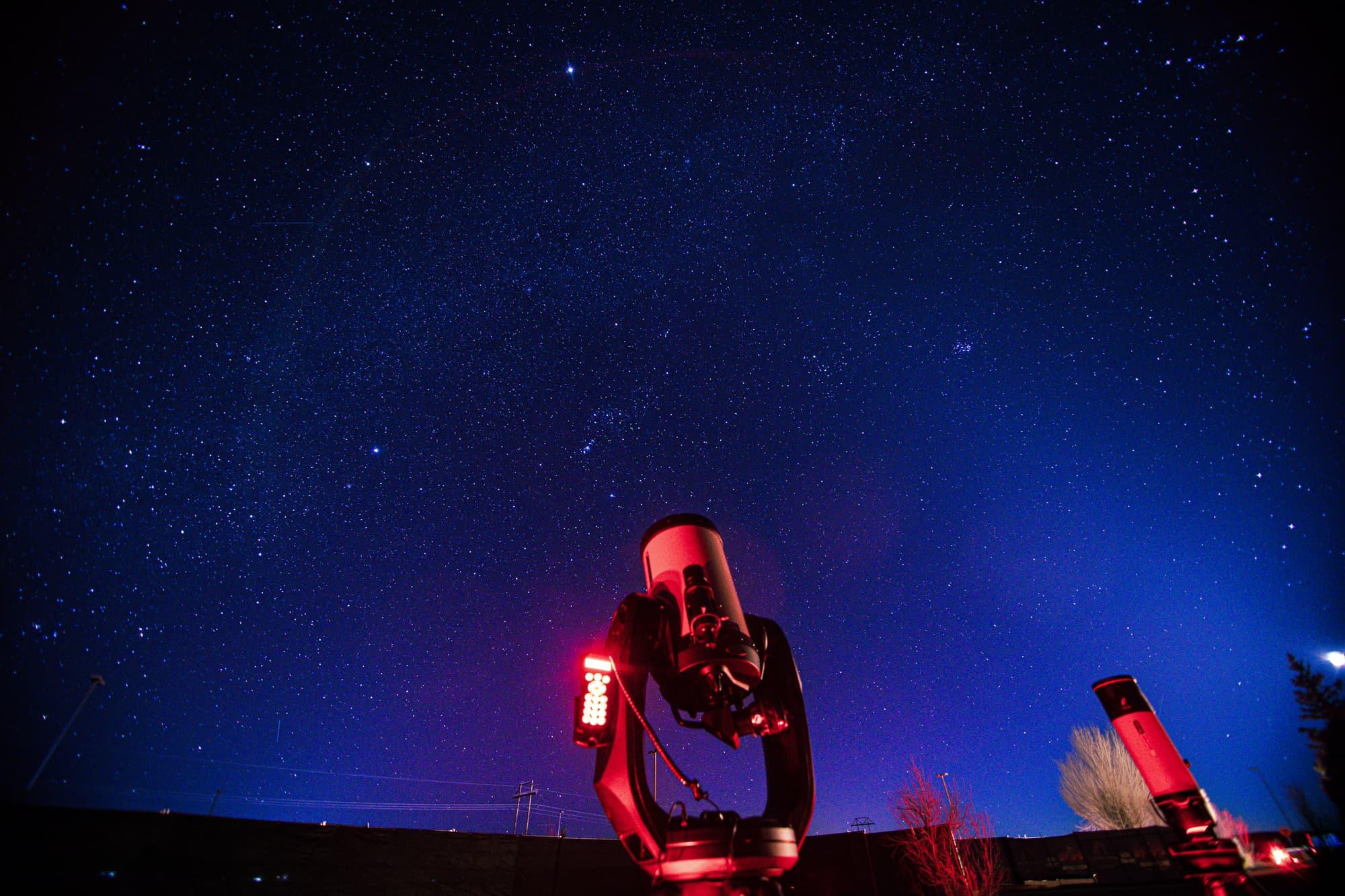
From our stargazing pad, if you look east just as the sun goes down, the brilliant orange light catches the tallest mountain you can see and turns it to gold. This is Powell Point, the tallest point in the Grand Staircase geological formation at more than ten thousand feet. It’s named after John Wesley Powell, an American scientist and explorer most famous for his harrowing first descent of the Colorado River. Powell’s name is scattered across the canyon country, and for good reason. Across a forty-year career, he was a soldier who lost his right arm in the Civil War, a college professor, a daring explorer, a brilliant scientist, and one of the founders of both National Geographic and the United States Geological Survey. But what usually isn’t brought up as often in biographies of Powell is that he was also a stargazer.
Come back with me to July 30, 1869. Powell and a motley crew of mountain men, months into their famous Colorado River trip, stopped for the day at the junction of the San Juan and Colorado Rivers. That night, the explorer announced to his men that they would lay over there for the next day, to fix their boats and explore the surrounding country. The men and their stomachs grumbled - they were running short on food already, with hundreds of miles and an entire Grand Canyon left to go - but Powell was adamant. They would stay there, for the reasons that he already mentioned, but also because there was a lunar eclipse the following night and he refused to miss it. If they were hundreds of miles deep in unknown canyons with limited supplies, why would Powell risk not only the success of the expedition but also his and his men’s lives to look at the moon?
He wanted to know exactly where he was on the planet, his latitude and longitude, and he knew that he could learn this by observing the stars and the lunar eclipse. Celestial navigation, the art of using the stars and other celestial bodies to find your way, is one of humanity’s oldest uses for the stars. Since the first people told the stories of the Seven Sisters and the Hunter, we have looked up to orient ourselves. Polynesians had such a deep understanding of the night sky that they memorized the places where the stars rose every night, to such a degree that they could cross the Pacific Ocean just by following the stars. Enslaved people on the Underground Railroad followed the Drinking Gourd (the Big Dipper) to freedom in the North. And explorers and pioneers, from Lewis and Clark to Powell, used the stars to discover and map this country. Of course, we can just use our phones - and the GPS satellites they talk to - to find this out nowadays, but those explorers didn’t have that luxury. If they wanted to know where they were, they had to learn the stars and - gasp - do some math.
Of the two, latitude is easier to determine. All you have to do is measure the angle between the North Star and the horizon. At the North Pole, it would be 90 degrees from the horizon, at the highest point in the sky. At the equator, it would be right at the horizon - 0°. The standard tool for this, in every explorer’s kit, was the sextant. Take a sight with your sextant and it will give you the angle between Polaris and the horizon, and that angle is your latitude.
Longitude is where celestial navigation gets difficult. Beyond checking a GPS, there is no easy way to find your longitude, but it is possible. The easiest method is to observe a major celestial event, like an eclipse of the sun or the moon or a transit of one of the moons of Jupiter. It’s why John Wesley Powell insisted on staying that night - because there was an eclipse, he could record the time that it started, do some fancy math, and learn his longitude. If Powell or an earlier explorer didn’t have a convenient eclipse or a telescope to watch a transit of Jupiter’s moons, then they had to use a much more difficult method. From Stephen Ambrose’s Undaunted Courage: “The alternative was to note the regular movement of the moon, measured against the sun and stars. The method was to choose a bright star as a fixed point against which to measure the moon’s easterly motion in its orbit around the Earth. The stars that could be used for the measurement were Antares, Altair, Regulus, Spica, Pollux, Aldebaran, Fomalhaut, Alphe, Arieties, and Alplo Pegas.” (pg. 119) Regardless of what method you use, the basic concept of determining longitude is the same.
Longitude is directly related to time and can be best expressed as the difference in time between your location and the Prime Meridian. If the Earth rotates 360° in 24 hours, then it rotates 15° per hour. Therefore, if the sun is directly overhead at the Greenwich Royal Observatory - the designated beginning of the Prime Meridian - then it will be directly over Quebec City four hours later, as Quebec is located near the 60th meridian. So when explorers wanted to know their longitude, they would compare the beginning of the eclipse or the transit or the angular distance between the moon and a fixed star at their location, then find out what time those events happened in Greenwich. From there, it’s a relatively simple equation - multiply the number of hours by 15 and you’ll have your longitude.
So when you come to a stargazing tour, make sure to bring not only a curious mind and open eyes, but also your sextant so we can show you how to find your way using only the stars.
Sources
Ambrose, Stephen E. Undaunted Courage: Meriwether Lewis, Thomas Jefferson, and the Opening of the American West. New York: Simon & Schuster Paperbacks, 1996.
Powell, John Wesley. The Exploration of the Colorado River and its Canyons. New York: Dover Publications, 1961. Originally published as Canyons of the Colorado in 1895.